Skip to content

Spatial Ventures – Geospatial Services

Working for a Sustainable Future

  • Home
  • Services
    • Spatial Analysis
      • GIS
      • Remote Sensing
      • Data Management
    • Hydrogeology
      • Groundwater
    • Visualisation
      • Web Mapping
      • 3D Animations
    • Capacity Building
  • Clients
  • About
  • Contact
  • Blog
Spatial Ventures – Geospatial Services

Month: October 2016

Drone training New Caledonia

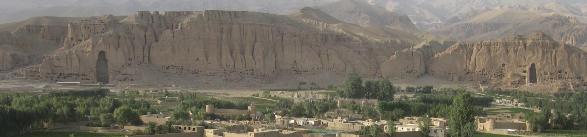
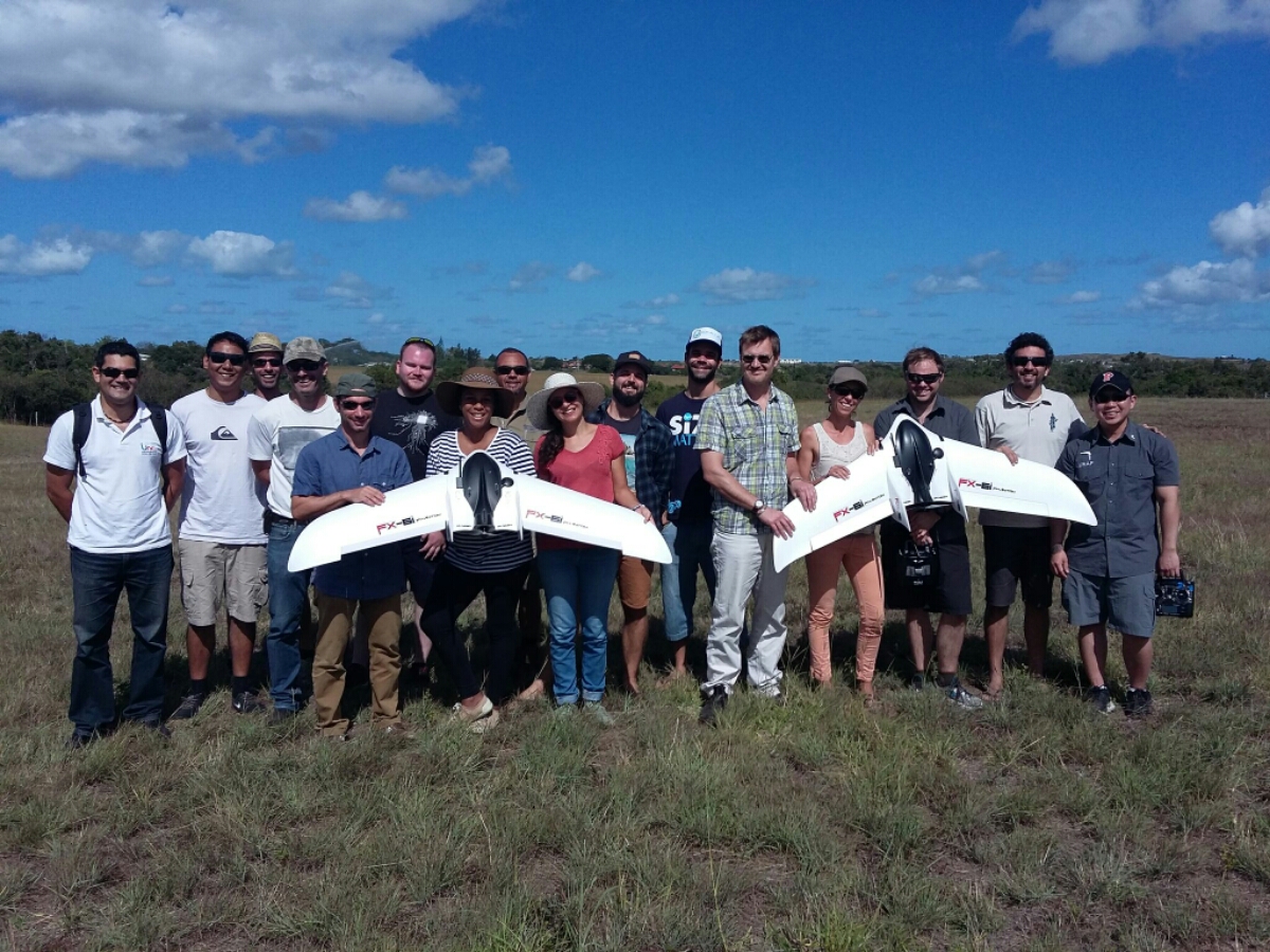
This was great opportunity in October this year to understand the principles of operating fixed wings and copters with Uni Adelaide and CI. Also the insight of associated data lifecycle was interesting to go through. Overall, a nice option for monitoring the landcover and observing conservation related issues/outcomes.

Author RalfPosted on October 14, 2016October 15, 2020Tags Drone New CaledoniaLeave a comment on Drone training New Caledonia

Recent Posts

  • Neighbourhood environments and cognitive health
  • Graphs using Highcharts
  • Point in Polygon – Vertica
  • Urban planning support –
    Implementing the 20-minute neighbourhood concept (Melbourne and Adelaide)
  • Geographic variation in and contextual factors related to medication adherence with type 2 Diabetes

Recent Comments

  • Ralf on Re-ranking of Socio-Economic Indexes for Areas (SEIFA)
  • Mae on Re-ranking of Socio-Economic Indexes for Areas (SEIFA)

Archives

  • August 2024
  • December 2022
  • August 2022
  • February 2022
  • January 2022
  • December 2021
  • October 2020
  • May 2020
  • June 2019
  • May 2018
  • March 2018
  • November 2017
  • September 2017
  • October 2016
  • March 2016

Categories

  • GIS updates
  • Home
  • Services
    • Spatial Analysis
      • GIS
      • Remote Sensing
      • Data Management
    • Hydrogeology
      • Groundwater
    • Visualisation
      • Web Mapping
      • 3D Animations
    • Capacity Building
  • Clients
  • About
  • Contact
  • Blog
Spatial Ventures – Geospatial Services Proudly powered by WordPress
Spatial Ventures logo
  • Home
  • Services
    • Spatial Analysis
      • GIS
      • Remote Sensing
      • Data Management
    • Hydrogeology
      • Groundwater
    • Visualisation
      • Web Mapping
      • 3D Animations
    • Capacity Building
  • Clients
  • About
  • Contact
  • Blog