3D Visualisation is a power instrument to illustrate structural conditions of landscapes, complex geological settings or results of spatial analysis for a specified area.
Spatial Ventures has developed 3D animations based on open-source paraview.
Mount Panié, New Caledonia, Kauri tree habitat:
The video-example below is derived from GIS 2.5D data, showing the relief of Mount Panié (northern New Caledonia), and overlays of Kauri conifer tree habitat (Agathis montana, in green) and results of Kauri tree die-back analysis (yellow spotted areas).

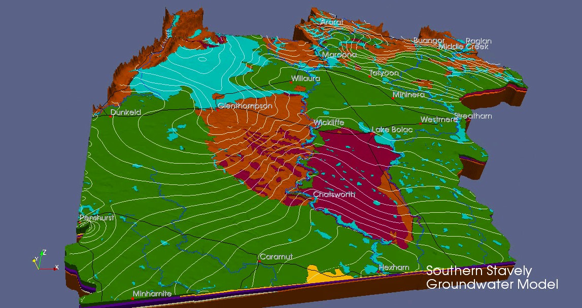
Stavely area western Victoria, Groundwater model:
Within the frame of groundwater model development, the 3D animations below were developed for the Victorian government and show main geological formations and aquifers in western Victoria.
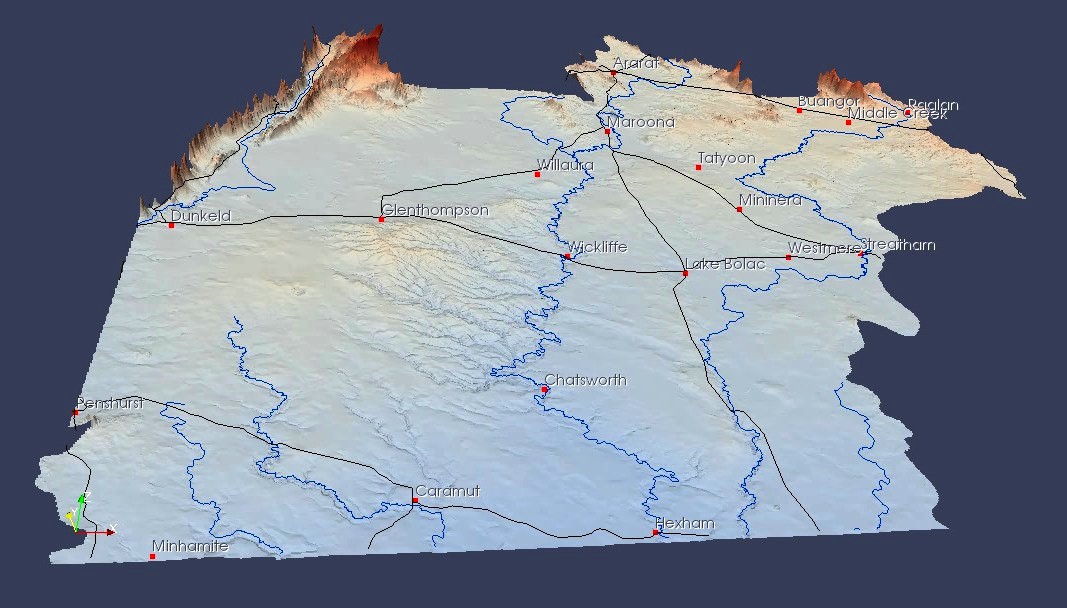
Vector data such as rivers, roads and groundwater head contours as well as annotations for locations and hydrogeological units were added:
Great Artesian Basin:
During our assignment with BOM, we have modelled the Great Artesian Basin – and simulated the various hydrogeological units in 3D using paraview: