Spatial Ventures has built strong GIS competence and lasting capacity mainly within government organisations based on effective training provision.
First inputs reach back to the years 2000 to 2003 with the Ghanaian Ministry of Agriculture in West Africa, supporting the agricultural district development, and participatory community development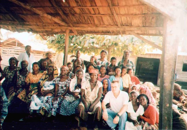 through a German Agricultural Development project (DED/GTZ-GIZ) in the Brong-Ahafo Region. This assignment included participatory rural extension appraisals, field based data collection, aerial cartography assessments and fine-scale community mapping for a landuse planning exercise with the community in Pafo.
Other engagements later were GIS tutoring at the University of Queensland (2005/06) and training the Libyan General Environment Agency the fundamentals of Remote Sensing in 2009.
Longer-term inputs (3 years) of capacity development in GIS and Remote Sensing was provided to the Afghan Ministry of Rural Rehabilitation and Development as well as Ministry of Agriculture, Irrrigation & Livestock (2009-2011). Cartography, geoprocessing, spatial data management and integration were main training areas for the government technical staff. Training manuals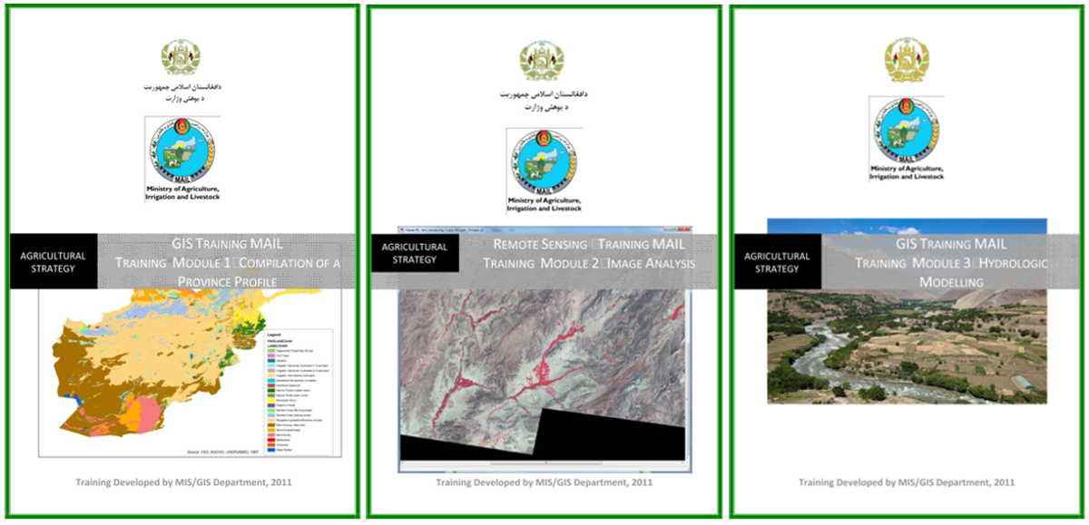 were designed for landcover mapping, and province profiling based on remotely sensed data and conducting supervised classifications with subsequent spatial analysis. Other trainings implemented and material developed included suitability analysis, hydrologic modelling, map validation as well as field data collection. The design of mobile field data surveys has been undertaken dealing with GPS recording, digital form entries and form submissions/uploads to database servers, enhancing data quality and further analysis.
Spatial Ventures is flexible in meeting individual requirements with sustainable results and understands how to best work within diverse cultural contexts and backgrounds.
Engagement with Agricultural staff in Uruzgan Provincial Office (Afghanistan):


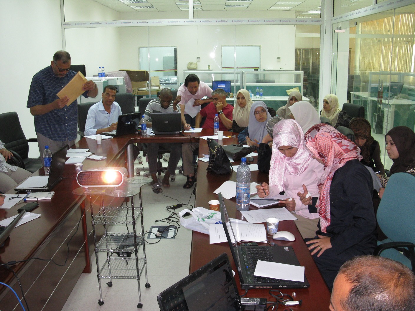
Training technical staff of the Libyan Environmental General Assembly, Tripoli Libya: